O‘ahu Hike of the Month: ‘Aiea Loop Trail
This easy trail is a hike through a verdant forest with native trees.
Editor’s Note: We love hiking! Fortunately, O‘ahu is full of great hikes. In this web series, we bring you our favorite O‘ahu trails once a month.

Photos: Catherine Toth Fox
TRAIL NAME: ‘Aiea Loop Trail
DIFFICULTY: Easy
LENGTH: 4.8-mile loop
FEE: None
WHERE: 99-1849 ‘Aiea Heights Drive, ‘Aiea
DISCLAIMER
Hiking can be dangerous, and not every trail is a good idea for every person. Keep your personal fitness and skill level in mind, and always take proper precautions when venturing off road. Heed “no trespassing” and other warning signs.

THE EXPERIENCE
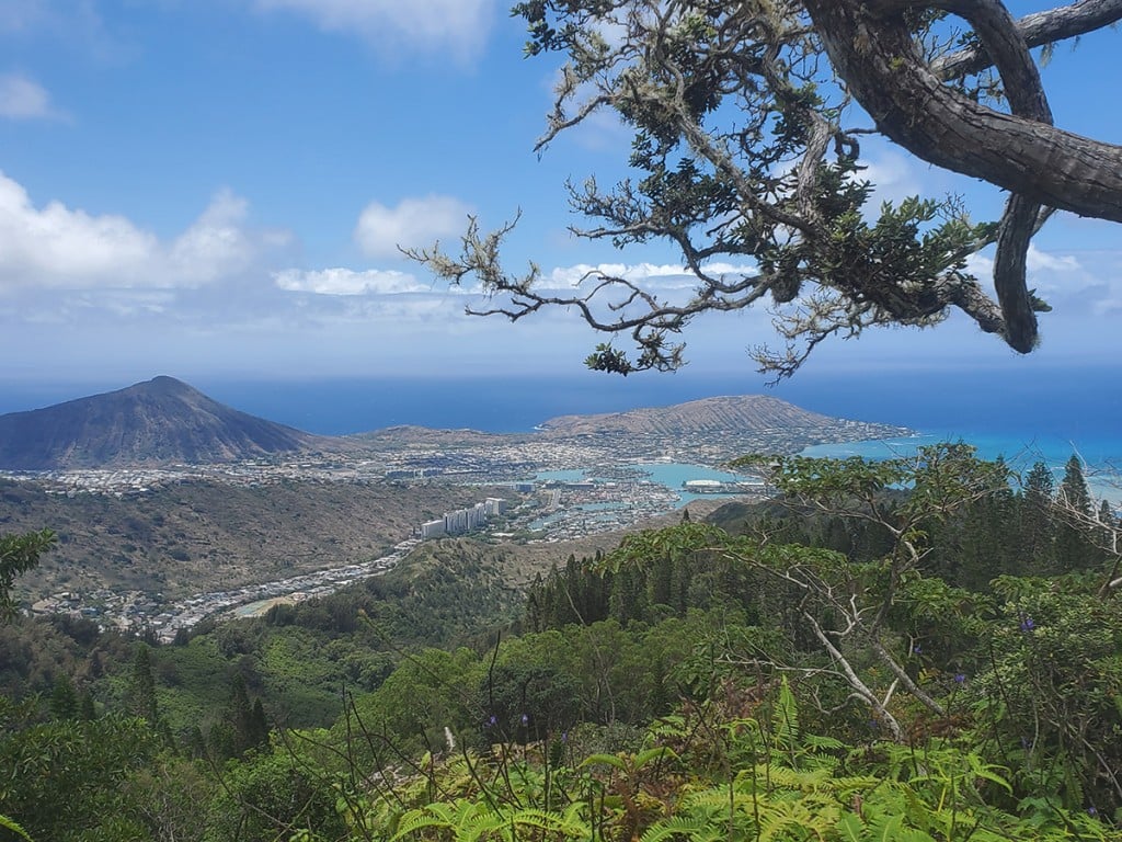
If you’re looking for a hike that’s not too strenuous—no rock-climbing, no ropes, no stairs—but that immerses you in a verdant forest, including native trees, consider ‘Aiea Loop Trail. This pleasant, mostly shady 4.8-mile hike runs along the ridge on the west side of Hālawa Valley, with views of Pearl Harbor, Diamond Head and the Ko‘olau Mountains. Since it’s a loop, you’ll never get bored; every view will be new and different. Plus, there’s a ton of parking (and restrooms) at the Keaīwa Heiau State Recreation Area, a 384-acre park where the trailhead is located. If you want to toughen it up, the much harder, 4-mile Kalauao Trail is located off an S-shaped curve at a junction on the trail. This hike takes you to a popular waterfall with swimming holes. The hike back—it’s entirely uphill—is your cardio workout for the week.
THE PAYOFF
Don’t expect panoramic summit views like you’d get at the end of one of O‘ahu’s popular Ko‘olau trails. But you will get a birds-eye view of the H-3 Freeway as it intersects pristine Hālawa Valley. That lookout point comes midway through the hike. And the trail itself is a relaxing walk through lush groves of lemon eucalyptus, Norfolk pine and native koa and ʻōhiʻa trees. You used to be able to see remnants of a B-24 bomber that crashed here in 1944 from one point on the trail, but these days it’s difficult (if not impossible). A landslide a few years back pushed the plane wreckage to the bottom of the gulch. Still, the hike is a great workout—and The Alley Restaurant (and its lemon-crunch cake) is just down the road. Three miles, to be exact.

MAP & DIRECTIONS
The trailhead is located at the top of ‘Aiea Heights Drive, in the Keaīwa Heiau State Recreation Area. There are a few parking areas, bathrooms and picnic spots.
TIPS
- Dogs are allowed, but you must keep them leashed.
- This is a popular trail for runners; mountain biking, though, is not allowed.
- Watch the weather. This can be a very muddy trail if it’s rained recently.
- Look for native birds, particularly the endemic O‘ahu ‘elepaio (monarch flycatcher), which is thriving here.
- It may be an easy hike, but it’s long—nearly five miles—and involves some gradual uphill climbs and a stream crossing. Give yourself about three hours to complete it.
Click here for more Oʻahu hikes.
READ MORE STORIES BY CATHERINE TOTH FOX