O‘ahu Hike We Like: Lanipō Trail
An up and down ridge hike with some sweet views.
Editor’s Note: We love hiking! Fortunately, O‘ahu is full of great hikes. In this web series, we bring you our favorite O‘ahu trails.

Photos: Tiffany Hill
TRAIL NAME: Lanipō Trail
DIFFICULTY: Intermediate/Difficult
LENGTH: 7.5 miles round trip
FEE: None
WHERE: Wilhelmina Rise to Maunalani Circle
Disclaimer
Hiking can be dangerous, and not every trail is a good idea for every person. Keep your personal fitness and skill level in mind, and always take proper precautions when venturing off road. Heed “no trespassing” and other warning signs.
The Experience

I’ve never hiked Lanipō Trail before, so on a recent Saturday I decided to check it out with two friends. One friend had attempted the 7.5-mile trail three times before, but because of bad weather and tired hiking buddies, never made it to the end. Today was going to be her day, we said.
Also known as Mauʻumae Trail, Lanipō is located above Kaimukī in Mauna Lani Heights. This ridge trail is most known for its series of ups and downs as you follow the ridge to the top. It’ll get your heart pumping.
We headed out on an overcast morning. While it made for cool weather, the recent rain also meant we had to watch our step, especially as the trail narrows the higher you climb. (There are ropes to assist you during the trail’s particularly steep sections.) In the summer, it’s a scorcher, with much of the trail exposed.
Fairly early on in the hike, we stopped at a bench to rest, drink water and take photos. It’s the best rest stop along the trail until you reach the end. Be sure to bring plenty of water and snacks with you on this hike.
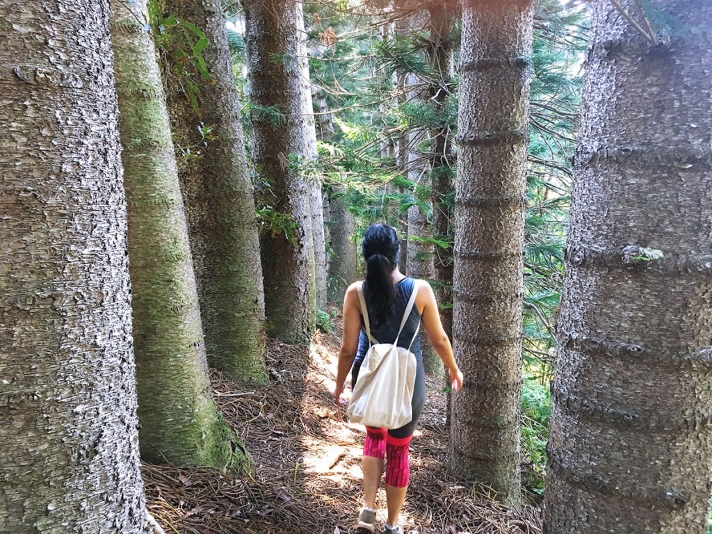
Along the way, we saw strawberry guava, uhule ferns and even ʻōhiʻa lehua.
The Payoff

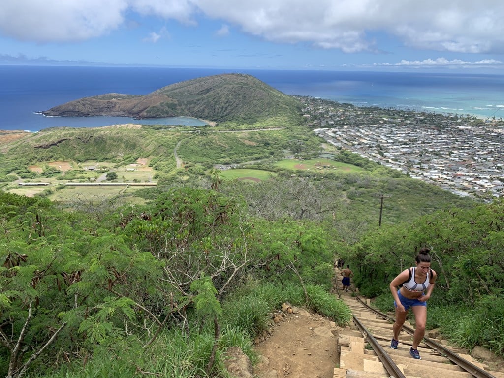
As with most ridge hikes on Oʻahu, the views can’t be beat. Lanipō Trail is no exception. Even better, you’re treated to stellar vistas from virtually your first step on the trailhead, including downtown Honolulu, Waikīkī, Pālolo and Mānoa neighborhoods.
As we trekked higher along the ridge, we saw Kaʻau Crater. You can reach the crater, too. It’s a challenging but rewarding hike; we saw a couple of people making their way around far off in the distance.
The summit of Lanipō yields views of the windward coast, Waimānalo and Kōnāhuanui, the highest peak in the Koʻolau Mountain range. The clouds enveloped us, so we missed out on these views. But on the way back down, one of the most vibrant rainbows I’ve ever seen appeared. And because we were at a high elevation, we had a front row seat to its technicolor splendor.
We returned to the car tired, sore, damp and hungry about five hours later, but we made it. Another great Oʻahu hike accomplished.
Map & Directions
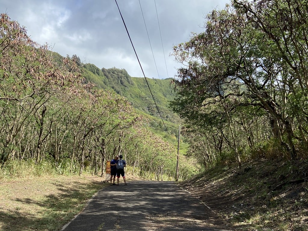
Head east and turn right from Koko Head Avenue onto Sierra Drive. Take a left onto Wilhelmina Rise. Continue up the street until it intersects with Sierra Drive. Turn left on Sierra Drive and then right onto Maunalani Circle. Park in the neighborhood on the street next to the Board of Water Supply tank. The trailhead is located at the pathway between the chain link fences.
Trail Tips
- Depending on your pace, and how many breaks and photos you take along the way, plan to spend five to six hours on this 7.5-mile trail.
- Definitely bring water and snacks, and wear sunscreen.
- Parts of this trail are narrow so watch your step!
- If it’s the views you’re after, check the weather before you start this hike.
Click here for more hikes we like.
READ MORE STORIES BY TIFFANY HILL