Google Maps Street View comes to Hawaii
After months of rumored camera van sightings, Google has finally unveiled its Google Maps Street View for Oahu and Maui. Now you can explore the islands virtually, just by visiting maps.google.com. Just drag and drop the orange stick figure onto the map and you’re suddenly in an immersive 360-degree panorama that will likely look very familiar.
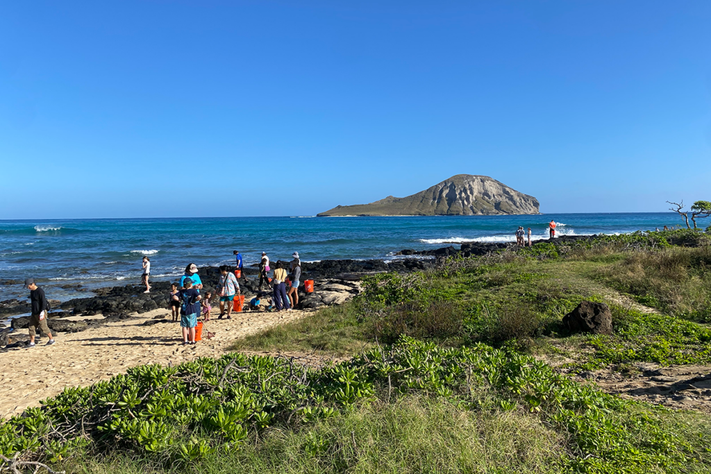
There are a few notable holes in coverage—residents of Aiea and Upcountry Maui are out of luck, for example—but for the most part, if you can reach it by car, you can see it on Street View, from photogenic tourist hotspots to seedy backwaters. (The end of Farrington Highway leading into Kaena Point State Park is spraypainted with the warning, “high theft area.”)
After a morning of clicking around, here are a few of our favorite shots:

Watch your car out near Kaena Point.

Waimea Beach is looking photogenic as ever.

Chinatown’s busy outdoor markets.

Google gives you a more leisurely look at the Pali Tunnels than you normally get.

State workers install a road sign near the Pali Tunnels.

This is making us want to drive out to the North Shore–the long way.

Protesters in front of the Vanguard Lofts get a worldwide audience.
We’ve only just scratched the surface. Check it out yourself and see what you can find.